New Launch - India Real Estate Report 2026.

Services
Knowledge Hub
Resources
Tools

Ask Pulse Ai
©PropTech Pulse 2025, All rights reserved.


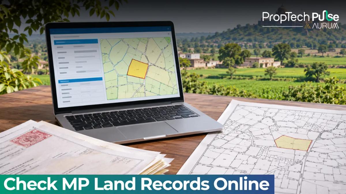
Buying rural or suburban land in Madhya Pradesh feels risky when you only see a sketchy paper map handed over by a broker. The first thing any responsible buyer checks is the official registry via mpbhulekh.gov.in. Since the state upgraded to the WebGIS 2.0 interface in July 2025, the old search screens have been replaced by interactive village maps and cleaner data tables. You can now pull up ownership details without making a confusing phone call to the local patwari.
But finding the right document is half the battle. The portal throws a handful of files at you: Khasra, Khatauni, B1, and Bhu Naksha. They all look like bureaucratic abbreviations until you know which one proves ownership.
Grabbing a screenshot from the browser might help you remember a plot number, but banks, lawyers and the revenue courts only accept a digitally signed PDF. Don't risk the deal on a blurry image.
Here is exactly how to navigate the updated dashboard without hitting dead ends, understand what each record means, and obtain a legally valid copy every time.
What is MP Bhulekh and Why It Matters for Land Verification
Quick answer
MP Bhulekh is the Madhya Pradesh government's official portal for accessing land records and village maps. It replaces older systems with the newer WebGIS 2.0 interface, giving buyers direct access to verified plot ownership, crop details, and encumbrance data. To get a bank-ready legal certificate, you must generate a digitally signed PDF through the citizen login menu rather than taking a screen capture.
When you are looking at a piece of agriculture land or a peripheral suburban plot, the physical sale deed is only one part of the transaction. The underlying land records tell you who actually holds the rights today. MP Bhulekh keeps these records updated continuously by the Commissioner, Land Resources Management, Madhya Pradesh.
Since late 2025, the entire district and tehsil layer has shifted to WebGIS 2.0. That transition cleaned up broken links from the previous version and added interactive boundary maps. You no longer have to guess which village falls under which gram panchayat. If you are verifying a property before handing over even a small advance, checking these records takes five minutes and saves you from future litigation.
Understanding MP Land Records: Khasra vs Khatauni vs B1 Record
Don't treat every file in the system as a replacement for a title search. Each record type tracks a different slice of the land's life cycle. Buyers often pull up **mp khasra** to confirm the area but miss the B1 record, which holds the actual mortgage data.
| Record Type | Data Held | Who Needs It |
|---|---|---|
| Khasra (Khewat/Khatouni No.) | Plot-wise details including Khasra number, total area, soil type, and current crops planted. | Developers and farmers verifying plot size and land classification (e.g., irrigated vs unirrigated). |
| Khatauni (Jamabandi) | Holder-wise ownership ledger listing all individuals owning shares across one or more Kharas in a village. | Homebuyers and lawyers confirming the exact names of current owners and their fractional shares. |
| B1 Record (Bhu-adhikar evam Rin Pustika) | Loan and charge holder details, showing mortgages, bank approvals, and pending dues against specific plots. | Banks providing home loans, NBFCs and careful buyers ensuring the land is free from active debt. |
Stop relying on screenshots. A photo you take from the browser confirms nothing in a revenue court. For loan sanctions, mutation applications and legal disputes, always download the digitally signed certificate using the steps below.
How to Check Your MP Land Records Online on WebGIS 2.0
The new dashboard looks less like a database and more like a geospatial tool. If you click around aimlessly, you will hit dead ends trying to fetch a single Khasra number. Follow the structured paths below to reach the exact file fast.
Search by District, Tehsil, or Village Name
This is the standard route if you know the location but lack the precise plot number.
- Go to the main WebGIS 2.0 portal.
- Click the 'Record Viewer' tab at the top of the left sidebar.
- Select your District, then the Tehsil, and finally the Village.
- The map loads automatically. Use the zoom tool to find your village boundary.
- Click on the individual village plot shapes to see the Khasra and Khatauni summary pop up.
Search Quickly Using ULPIN or Samagra ID
If you have the unique identifiers, skip the map navigation entirely.
- In the Record Viewer menu, locate the 'Search by ULPIN / Samagra ID' field.
- Type the 24-digit Unique Land Parcel Identification Number (ULPIN) issued under the SVAMITVA scheme, or enter the family's Samagra ID card number.
- Hit search. The system pulls every linked Khasra and the current owner list instantly, bypassing the tehsil dropdown menus.
How to Locate and Open Your MP Bhu Naksha (Village Map)
Reading the village map requires knowing where the property lines actually sit relative to roads and water bodies. MP Bhu Naksha overlays the administrative borders onto satellite imagery or survey maps.
Once the map is loaded, turn on the 'Boundary' toggle. You will see distinct polygons drawn around each Khasra.
Click on the polygon matching the land you are watching. A side panel opens showing the perimeter measurements and adjacent Khasra numbers. Comparing those neighbor numbers with what the seller wrote in the agreement letter is the quickest way to catch a boundary dispute.
Walk away from the deal immediately if a site plan places the house hundreds of meters away from the plotted shape on the map.
Downloading a Digitally Signed Certified Copy of Land Records
You cannot apply for a home loan or register a sale deed with a static image dumped from your gallery. The mpbhulekh webgis platform restricts certified copies to logged-in users to prevent fraud and track payments.
Here is the exact workflow to get the stamped PDF:
- Register for a new account or log in using your Aadhaar-linked mobile number on the citizen dashboard.
- Navigate to 'New Application' and select 'Copy of Record of Rights'.
- Fill in the mandatory details: District, Tehsil, Village, Khewat number and the exact years you want to review.
- Click 'Calculate Fee'. The system displays the standard charge, which currently sits around thirty rupees per page, though rates adjust periodically by the state treasury.
- Pay the fee securely through the gateway.
- Return to the 'My Applications' action menu and tap 'Download Copy'.
The final PDF carries an official digital signature from the State Controller of Certificates. It is legally binding and accepted at any sub-registrar office in the state.
Beyond Bhulekh: Checking Encumbrances on SAMPADA and Court Cases via RCMS
Land records show who owns the dirt under your feet. They do not always reveal hidden fights over that dirt. Before you sign anything, run two extra cross-checks that seasoned buyers use.
First, query the SAMPADA portal managed by the Madhya Pradesh Irrigation Department. If the land relies on canal irrigation, the department logs water usage rights and penalty notices there.
Unsettled irrigation dues can sometimes trigger government claims on the property. Second, search the Revenue Court Management System (RCMS).
Enter the owner's name alongside the Khasra number to see if a civil suit or injunction has been filed locally. Cross-referencing data between mp bhulekh and RCMS prevents costly surprises during registration. If you spot a recent case number, ask the seller for the decree papers immediately.
Before You Pay the Token Amount
Property deals hinge on matching names on paper with reality on the ground. Verify the Khatauni owner matches the seller perfectly.
Pull the B1 record to ensure no private moneylender holds a secret lien. Finally, confirm the plot boundaries on the mp bhu naksha line up with the physical site visit.
If every step clears, proceed to the sale deed draft. If you hit a mismatch, pause the transaction and consult a property lawyer before moving forward. You can reference a broader property due diligence checklist in India to organize your verification steps methodically, especially when dealing with complex inherited titles.
For NRIs managing parcels back home, understanding remote verification protocols is essential, so reviewing an NRI buying property in India guide helps clarify cross-border compliance requirements. Keep your home loan documentation checklist ready so you request the exact certified copies the bank demands upfront.
Frequently asked questions
Is MP Bhulekh completely free to use?
Most basic browsing and map viewing cost nothing. However, pulling down a legally recognized copy requires a small paid application. The portal calculates a fee per page during the application phase, which typically runs around thirty rupees. Government offices also charge separate processing fees if you request physical printed documents instead of downloading the digital PDF directly.
What is the exact cost to download a certified digital copy on MP land records?
A baseline charge of roughly thirty rupees per page covers standard records. The exact amount updates dynamically on the portal depending on whether you request ten years of continuous data or a snapshot of a single fiscal year. Always rely on the 'Calculate Fee' button inside the application form for the live rate, since periodic revisions by the finance department change the base tariff.
How can a buyer tell if a plot has an active loan attached using the B1 record?
Look specifically for mortgage or lien entries in this ledger. If you see a bank name, an NBFC, or a private moneylender listed alongside a specific loan amount and date, the land carries an active encumbrance. The seller must clear these entries before the registration office will accept a fresh transfer.
Do I need to visit a local tehsil to update my name in mp khasra after buying land?
Online mutation handles most transfers automatically now. As long as both parties agree on the transaction and the paperwork is clean, you can initiate the 'dakhil kharij' process through state e-District services. You upload the sale deed, pay the nominal application fee, and submit the request digitally. An assigned assistant collector reviews the file virtually, though physically appearing at the tehsil remains necessary only if a clerical flag triggers a manual audit.
Can I view MP Bhu Naksha maps on my phone, or do I need a desktop?
Modern smartphones load the WebGIS 2.0 interface cleanly. You can scroll through district lists, zoom into village boundaries and tap individual plot polygons while standing on-site. Desktop computers offer a wider viewport for examining dense street grids, but the mobile experience contains identical data layers and performs equally well for quick verification trips.
Sources
- Ayukth Bhulokh Madhya Pradesh Portal: General portal landing and service overview (accessed October 2026).
- Revenue Court Management System Madhya Pradesh: Case filing and litigation tracking data (accessed October 2026).
Enjoyed this blog article? Visit PropTech Pulse for more interesting blogs.




Ask Pulse Ai anything about real estate

Unlock the Latest in Real Estate
News, Infographics, Blogs & More! Delivered to your inbox.