









How do PropTech startups use satellite imagery for property assessment?
Satellite Imagery in Property Assessment refers to the use of high-resolution satellite photography and remote sensing data to evaluate property conditions, land use, and development potential without requiring physical site visits.
How PropTech Startups Use Satellite Imagery for Property Assessment
- Satellite imagery provides detailed visual data on property conditions, land use, and surrounding infrastructure.
- Analytics tools process satellite images to identify changes over time, such as new construction or land clearing.
- Remote sensing data can assess environmental factors, such as vegetation health or flood risk, for a specific property.
- Combined with other data sources, satellite imagery supports more comprehensive property assessment without physical visits.
How Do PropTech Startups Use Satellite Imagery for Property Assessment
- Assessing property and land conditions remotely, reducing the need for costly physical site visits.
- Monitoring changes in land use or construction progress over time across large property portfolios.
- Supporting environmental risk assessment, such as flood or wildfire exposure, for specific properties.
- Enhancing due diligence processes by providing an additional, independent data source for property evaluation.
Best Practices for Using Satellite Imagery in Property Assessment
- Combine satellite imagery analysis with ground-truth verification for significant investment decisions.
- Ensure image resolution and recency are adequate for the specific assessment purpose.
- Integrate satellite-derived insights with other data sources for a comprehensive property evaluation.
- Understand the specific limitations of remote sensing data compared to direct physical inspection.
Satellite imagery provides PropTech companies with a powerful, scalable tool for remote property assessment, complementing traditional due diligence methods with broader, more efficient data coverage.
Similar FAQs
What is PropTech industry classification?
What is the future of PropTech in India?
What are the latest PropTech trends?
What is the impact of PropTech?
View More...
Recent Glossary
What are the benefits of z-score based property risk modeling?
What are the benefits of zakat calculation on real estate assets?
How is zero-emission construction equipment used in real estate?
How do zonal price index for urban housing markets work?
What is the meaning of zero-touch tenant onboarding technology?
View More...
Similar Blogs
Digital Transformation
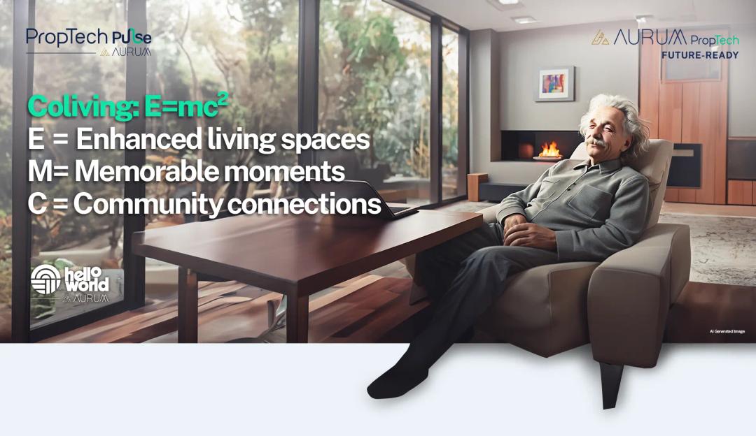
A letter from Albert Einstein in 2024 to young Albert
Dear Young Albert, I hope this letter finds you well, filled with the same curiosity and wonder that has always driven you. As I reflect on the world today, I can't help but think about how much has changed since my time, especially in the realm of communal living which might seem quite intriguing

PropTech Pulse Editorial
15th March 2024
Technology and Innovation
Evolution of Customer Relationship Management tools
‘‘The purpose of a business is to create and keep a customer’’, Peter Drucker, a famous writer, and management consultant said prolifically. The realm of CRM scope covers customer discovery, interactions, service, care, retention, and loyalty. The term Customer Relationship Management (CRM) was c
PropTech Pulse Editorial
12th April 2024

Technology and Innovation
Gen AI and the Changing Landscape of CRM
‘‘The purpose of a business is to create and keep a customer’’, Peter Drucker, a famous writer, and management consultant. Every business, lives, profits and grows with this mantra. Business that succeeded across all the previous industrial revolutions including mechanisation, electrification, aut
PropTech Pulse Editorial
25th April 2024
Digital Transformation
A letter from Albert Einstein in 2024 to young Albert
Dear Young Albert, I hope this letter finds you well, filled with the same curiosity and wonder that has always driven you. As I reflect on the world today, I can't help but think about how much has changed since my time, especially in the realm of communal living which might seem quite intriguing
PropTech Pulse Editorial
15th March 2024
Technology and Innovation
Evolution of Customer Relationship Management tools
‘‘The purpose of a business is to create and keep a customer’’, Peter Drucker, a famous writer, and management consultant said prolifically. The realm of CRM scope covers customer discovery, interactions, service, care, retention, and loyalty. The term Customer Relationship Management (CRM) was c
PropTech Pulse Editorial
12th April 2024

Ask Pulse Ai anything about real estate

Unlock the Latest in Real Estate
News, Infographics, Blogs & More! Delivered to your inbox.