New Launch - India Real Estate Report 2026.

Services
Knowledge Hub
Resources
Tools

Ask Pulse Ai
©PropTech Pulse 2025, All rights reserved.


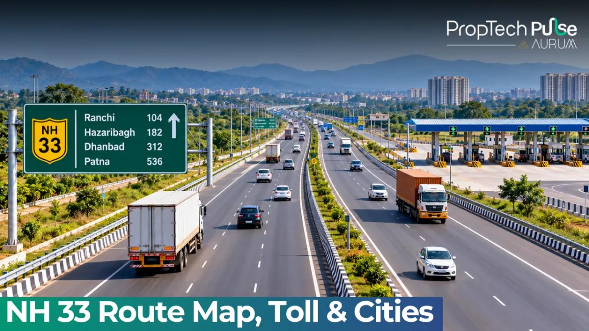
The NH 33 route cuts directly across eastern India, connecting the farming belts of Bihar to the mineral plateaus of Jharkhand, and finally linking up with West Bengal's industrial gateways. From Arwal to Farakka, the highway carries heavy freight and daily commuters. Its financial upside is unfolding now. Government planners are aggressively rolling out four-laning projects across the entire alignment. Land prices along the NH 33 corridor are reacting to those schemes in real time. Tracking exactly which sections get widened lets you position your portfolio ahead of the curve.
What is NH 33? Route map and connected cities
Quick answer
National Highway 33 is a 462-kilometre east-west corridor running from Arwal in Bihar, crossing Jharkhand, and ending at Farakka in West Bengal. It acts as the primary alternative route to the overcrowded Grand Trunk Road, connecting Tier-2 industrial towns like Jamshedpur and Bhagalpur while bypassing the worst congestion around major metros.
Planners mapped the NH 33 route to relieve pressure on older, choked highways. Before its official national status, merchants followed a confusing patchwork of state routes. The new designation gives logistics teams a single, predictable grid to navigate.
Real estate buyers look past basic kilometre markers. Plots sitting within two kilometres of the National Highway 33 alignment capture higher freight traffic and smoother transit. You can cross-check the returns on these developing pockets against established markets.
Terminus points and alignment
The journey begins at Arwal in Bihar. The NH 33 highway intersects NH 139 early on, swinging southwest through Jehanabad. Once inside Jharkhand, the carriageway threads past Deoghar and Jamshedpur before angling toward Sahibganj. Drivers cross the Rajmahal escarpment and enter West Bengal near Malda. The eastern endpoint connects directly to NH 12 at Farakka.
This uninterrupted chain matters for bulk transport. Coal loaders exit Jharkhand mines heading straight for Calcutta ports and the Farakka fertilizer complex. Bypassing detours saves both time and diesel.
Cities and towns along NH 33
Serious commercial activity clusters around major waypoints. Quiet market hubs rapidly morph into busy transit junctions as the project matures. Key stops anchoring the NH 33 belt include Patna's outer suburbs, Jehanabad, Aurangabad, Deoghar, and Jamshedpur. Local networks feed pilgrims to Bodh Gaya through short spur connectors.
Agri-commodities dominate the lighter freight. Bhagalpur, Sabour, and Sahibganj funnel silk and grain upstream toward industrial processors. Heavy mineral loads round out the traffic mix as the highway terminates at Farakka.
Pilgrimage economics also shape the surrounding towns. Bodh Gaya rests a short detour from the main NH 33 tarmac. Hospitality developers still pour concrete near the religious sites. Faster access drives consistent demand for budget hotels and quick-service eateries.
Current condition and four-laning plans on NH 33 highway
The driving experience varies drastically by zone. Municipal areas sport concrete dividers and paved shoulders. Vast rural tracts remain narrow, unseparated asphalt ribbons. Farm equipment, school buses, and loaded mining lorries crowd that thin space. Drainage grates disappear completely during monsoons. Commercial transport companies lose hours every month stuck in rain-induced snarls.
Current capacity cannot handle projected volumes. Officials listed these widening works under the National Highways Development Project. Contractors operate on multiple fronts right now.
The initial four-laning phases bracket Arwal and Jehanabad. Secondary packages run from Mokama to Bhagalpur, continue through Sahibganj, and tackle the steep Rajmahal-to-Farakka gradient. Engineers are straightening sharp bends near the hills to cut travel time in half and slash fatal collision rates.
Formal paperwork moved fast last summer. Authorities issued Gazette Notification S.O. 3791(E) on July 10, 2026, authorizing land grabs across the first ninety-one kilometres. That footprint slices through Arwal, Patna, Jehanabad, and Nalanda districts. Compensation ledgers open immediately. Speculators trying to snap up cheap village land face rushed valuations.
Watch the right-of-way map Before finalizing a plot purchase, ask the local revenue office for the official highway right-of-way dimensions. The Ministry often acquires far more land than the immediate carriageway requires for future service roads, footpaths, or wider medians. Never assume a property boundary matches the edge of the asphalt.
Problem zones and commuter challenges
Safety risks linger despite the expansion contracts. The Sahibganj stretch features unpredictable merges and poor lane markings. Fatigue claims spike among night drivers. Rain washes out shoulder support on the Arwal-Jehanabad leg. Stalled tankers block narrow bridge crossings between Biharsharif and Mokama during peak morning hours. Logistics fleets carry heavier insurance policies to buffer these hazards.
Navigating NH 33 toll fees
Fleet owners monitor the toll situation closely. Unlike premium expressways, the NH 33 does not pack plazas back-to-back. Several wide swaths operated toll-free while contractors waited for financing deals to clear. You pass empty entry gates for long stretches.
That dynamic shifts as the four-laning hits completion. New BOT and Hybrid Annuity Model contracts rely on user fees to bankroll the concrete. Once contractors hand over the widened lanes, electronic boards will flash fresh tariffs. Empty toll plazas remain a temporary perk for long-haul trucks and daily commuters.
Real estate and economic impact along NH 33
Heavy infrastructure work pulls capital behind the bulldozers. Turning a muddy two-lane dirt track into a paved, multi-lane highway removes friction for homebuyers and business owners alike. Shorter commutes boost residential rents instantly.
Landlords chasing steady cash flow watch neighbourhoods transform. Buyers who secure raw plots outside city limits ahead of the finishing line often see equity double as median barriers go up and traffic flows freely in both directions. Tracking the NH 33 progress chart helps time your entry perfectly.
| Town / City | Nearest Major Hub | Projected Connectivity Gains |
|---|---|---|
| Arwal & Jehanabad | Patna Metro Area | Dramatic reduction in morning commute times; surge in weekend housing demand from professionals working in the capital. |
| Jamshedpur & Chandankiyari | Industrial Steel Belt | Improved supply chain efficiency lowers business overheads, driving demand for staff quarters and mid-range apartments. |
| Bhagalpur & Sabour | Patna & UP Border | Boost to textile and silk trade logistics; commercial warehousing and cold-storage plots see rising lease rates. |
| Sahibganj & Rajmahal | Coal Mining Regions | Growth in supportive service industries and rental properties for contract labourers employed in nearby open-pit mines. |
| Farakka | Malda & North Bengal | Enhanced access to fertilizer plants and border trade checkpoints encourages cross-border warehousing investments. |
Expanding your search beyond the immediate transit nodes demands strict land-buying discipline. You cannot skip the basics before wiring money. Check soil stability, review municipal flood maps, and confirm zoning permissions well in advance.
Verifying ownership and avoiding encroachment risks
Government land grabs create genuine traps for careless investors. Brokers occasionally resell plots using outdated sale deeds. The highlighted boundaries might actually sit inside the newly acquired NH 33 right-of-way today. Always request current dimension charts from the local tehsil office. Verify circle rates for Bihar, Jharkhand, and West Bengal separately before countersigning any agreement. Ignoring paperwork invites total capital loss when authorities seize disputed land for public use.
Before you commit your capital
This eastern corridor delivers a funded roadmap, not a vague political promise. Gazetted acquisition orders force pace on land clearance and pouring schedules. Historic freight upgrades consistently drive property valuations upward across every impacted district.
Your exit strategy shapes every decision. Flippers chase tier-2 outer rings, buy years before the final overlay, and hold until paving crews finish. Buy-to-let landlords wait for operational traffic, locate retail pockets craving high visibility, and purchase finished shops instead. Both models work if you respect official right-of-way maps and trust only documented notifications over glossy brochures.
Frequently asked questions
Where does N h 33 begin and end?
The highway starts at Arwal in Bihar, right where it connects to N h 139. It runs westward through Jharkhand before finishing at Farakka in West Bengal, where it crosses paths with N h 12. This straight shot across the eastern states covers roughly 462 kilometres of relatively flat plains and moderate hill terrain.
Which states does N h 33 pass through?
It crosses three major states starting with Bihar, dipping south into Jharkhand to touch the mineral-rich districts, and finally entering West Bengal. This route effectively stitches together the eastern economic belt, allowing reliable travel for commuters hauling agricultural produce and industrial supplies across state borders.
What are the main N h 33 cities?
Beyond the larger metros, the belt supports dozens of active commercial centres. Key commercial stops include Jehanabad, Patna's southern fringes, Aurangabad, Deoghar, Jamshedpur, Bhagalpur, Sahibganj, and Farakka. Each of these locations relies on the corridor for moving raw materials out and consumer goods in, creating a steady stream of logistics activity.
Is there a toll on N h 33?
Most of the existing stretch operates without toll plazas today, saving significant money for daily travellers and transport fleets. As the government upgrades narrow sections into modern four-lane highways, toll collection may eventually start on those specific completed segments. Right now, however, you can travel the vast majority of the distance for free.
Enjoyed this blog article? Visit PropTech Pulse for more interesting blogs.

Ask Pulse Ai anything about real estate

Unlock the Latest in Real Estate
News, Infographics, Blogs & More! Delivered to your inbox.