New Launch - India Real Estate Report 2026.

Services
Knowledge Hub
Resources
Tools

Ask Pulse Ai
©PropTech Pulse 2025, All rights reserved.


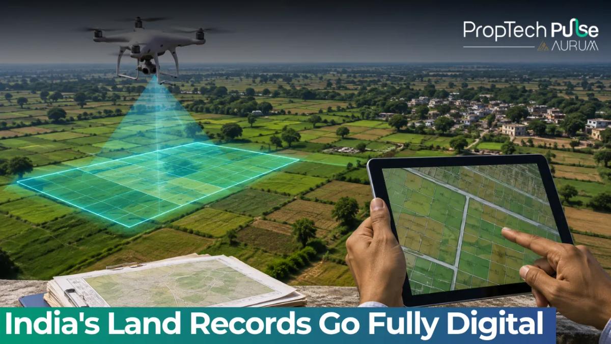
Nearly every textual land record in India is now digital. Around 99.90% of Records of Rights have been computerised. But a digital record alone is not enough.
The government is now linking records to the actual location of land on the ground georeferencing, drone mapping and a unique digital identity for every parcel.
The system was recently showcased to a high-level delegation from the African Union Commission and several African nations during a visit to the Department of Land Resources in New Delhi.
Bhu-Aadhaar: A 14-Digit ID for Every Plot
India is giving land parcels their own digital identity through a 14-digit alphanumeric identification number called Bhu-Aadhaar, or ULPIN the Unique Land Parcel Identification Number.
More than 40.58 crore land parcels have been assigned a Bhu-Aadhaar to date.
The system mirrors what Aadhaar did for citizens. It creates a single, permanent, verifiable identity for every piece of land in the country.
Department of Land Resources Secretary Narendra Bhoosnan said Aadhaar had created India's digital identity layer and Bhu-Aadhaar was extending the same idea to land.
He described the goal of DILRMP and the Bharat Land Stack as building an "unshakeable digital trust architecture." He added that by linking georeferenced land records, circle rates, registration and encumbrances into a single interoperable layer, the government is creating an ecosystem where even the most vulnerable citizen or rural landowner can unlock formal credit and mortgages.
Also Read: Karnataka to Identify Five Cities for Industrial Development
How the Digital Land Map Is Built
India's Bharat Land Stack brings together several layers of land and property information. A digital map of a property includes:
- Satellite and drone images
- Georeferenced cadastral boundaries
- Records of Rights and property registration data
- Master plans and zoning rules
- Building approvals, restrictions and litigation
- Circle rates and tenancy details
Around 76.16% of land parcels have been fully georeferenced. Spatial-textual integration has been completed for 85.24% of cadastral maps and Records of Rights.
Drones Are Mapping Urban India
For urban areas, India is using the NAKSHA programme National Geospatial Knowledge-based Land Survey of Urban Habitations.
Drones fitted with 2D Nadir cameras, five-camera Oblique systems and LiDAR sensors survey urban areas to achieve centimetre-level positional accuracy.
Aerial surveys create Ortho-Rectified Imagery, Digital Elevation Models and 3D Reality Models for complex urban landscapes.
Ground validation uses Real-Time Kinematic GNSS rovers alongside participatory ground checking, and a claims and objections process resolves disputes raised during the mapping exercise.
Under the NAKSHA pilot, aerial flying has been completed across 145 of 150 Urban Local Bodies, with legally authentic Urban Property Cards issued as a result.
Also Read: SVAMITVA Scheme Maps 3.30 Lakh Villages, Enables Loans
Registration and Dispute Data Now Connected
Around 98.98% of Sub-Registrar Offices have been computerised. Seventeen states and Union territories have adopted the centralised NGDRS platform, while 17 states use their own digital registration software.
Around 94.11% of Revenue Courts have been computerised under RCCMS, allowing litigation related to a property to be marked on its record in real time.
When land records, maps, registration and court data all feed into the same system, the dead capital problem that has historically locked rural landowners out of formal credit markets begins to shrink parcel by parcel.
Enjoyed this update? Visit PropTech Pulse for more real estate news, investment insights and property market trends.